We're working in the area
We're completing a project at Widdop Reservoir, so you might see our contract partners, Galliford Try, in the area while they finish up works on site. Thanks for bearing with us while we carry out our remaining works as quickly as possible and continue to invest in the Yorkshire region.
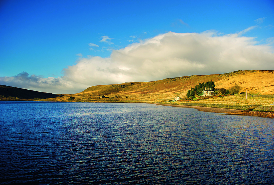
Discover natural beauty
This remote, bleak and exposed moorland walk is situated in an area of natural beauty with stunning scenery. Brushing the edges of 3 local reservoirs, Widdop, Upper Gorple and Lower Gorple, the route is within easy access of the Pennine Way.
Facilities

Useful Downloads
Details
Location
North-West of Hebden Bridge.
Difficulty

4 out of 4
Route length
4 miles
Walking time
2 hours
Terrain & gradient
The paths are mostly well-surfaced paths but there is a long, steep and rocky climb at the beginning followed by a rocky/grassy climb down the other side (point 2-5 on the walk guide). There are no steps or stiles on this walk, but the climb can be quite intense and exposed on a bad day.
How to get there
By car
Our free car park can be found on Widdop Rd, HX7 7AZ and doesn’t have a height barrier.
From Hebden Bridge
Take the A646 heading towards Burnley. After 0.7miles, keep an eye out for a turning area on your left to turn around and head back towards Hebden Bridge on the A646. After 0.3miles take Heptonstall Road, heading towards Heptonstall. After 2miles turn right onto Widdop road heading towards Widdop. Follow this road for 10 miles when the car park will appear on your right.
By public transport
Unfortunately there is no public transport currently available to Widdop Reservoir.
Visitor information
To keep everyone happy and safe, please:
- follow government guidance
- don’t swim
- take your litter home
- stick to the path
- keep your dog on a lead
- clean up after your dog
- don’t light fires or BBQs.