Get your walking boots on for our Scar House walk
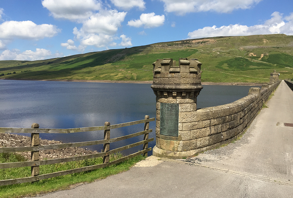
Scar House Reservoir is remote and peaceful and surrounded by impressive scenery. Along this route you can also admire the impressive architecture of the neighbouring Angram Reservoir, with its dramatic arches across the spillway which flows into Scar House.
Facilities


Useful Downloads
Need an easier walk?
We try to make our reservoirs as accessible as possible. The route between points 1 and 2 and points 1 and 5 on the guide, have wide surfaced tracks with no steps or stiles and a gentle incline. Between points 2 and 5, the walk is hilly, unsurfaced and can be boggy in places.You can find our more by reading our walk guide.

Details
Location
Near Middlesmoor in Nidderdale, north of Pateley Bridge.
Difficulty


3 out of 4
Route length
4 miles
Walking time
3 hours
Terrain & gradient
A mixture of rough, uneven tracks, tarmac roads, and moorland paths. Some sections can get muddy and boggy at wetter times of year. There are some steep climbs. Sturdy boots, waterproofs and appropriate warm layers are recommended, as this is an exposed area where the weather can quickly change.
How to get there
By car
This route starts from our free car park (Point 1 on the walk guide), which is near the end of the reservoir dam and does not have a height barrier. To get here, follow our private tarmac access road, which turns off to the right about 100 metres after Lofthouse village when driving towards Middlesmoor.
To get to Lofthouse Village from Pateley Bridge, follow Low Wath Road for about 7 miles.
From Masham
Follow Fearby Road, which becomes Keld Bank and passes through Healey and Leighton. After Leighton Reservoir, Keld Bank becomes Pott Bank, then Pott Moor High Road, then Trapping Hill before entering Lofthouse Village, about 10 miles from Masham. Take a right at the T-junction, then look out for the Yorkshire Water access road on the right after about 150m.
By public transport
Nidderdale DalesBus 821 runs to Scar House Reservoir Cafe from Keighley, Shipley, Guiseley, Otley and Pateley Bridge on summer sundays and bank holidays.
Visitor information
To keep everyone happy and safe, please:
- follow government guidance
- don’t swim
- take your litter home
- stick to the path
- keep your dog on a lead
- clean up after your dog
- don’t light fires or BBQs.

Looking for a more challenging walk?
If you fancy a tougher route, take on our Scar House and Angram walk. The route has a mixture of rough, uneven tracks, tarmac roads and moorland paths. Some sections can get muddy and boggy at wetter times of year and there are some steep climbs and lots of stiles. Sturdy boots, waterproofs and appropriate warm layers are recommended!
| Walk | Distance | Difficulty | Facilities |
|---|---|---|---|
| 6 miles | 3 out of 4 |
|