Facilities

Useful Downloads
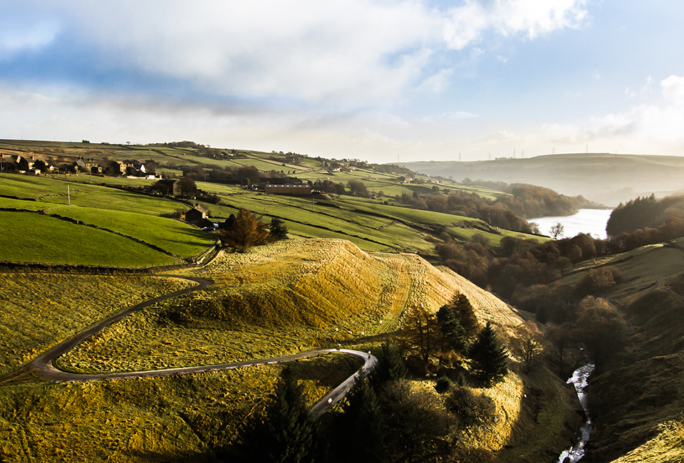
Details
Location
West of Ripponden.
Difficulty


3 out of 4
Route length
2 miles
Walking time
1.5 hours
Terrain & gradient
Varied terrain – the reservoir path is wide and well surfaced with minimal steep gradients. The remainder of the route includes sections over rough, uneven ground and includes steps and stiles. Some of the walk can be boggy and muddy at wetter times of year. Includes a section of steep climbing (about 250m long). We recommend sturdy walking boots.
How to get there
By car
You can use our free car park (HX6 4LR) which is just off the A58 (Rochdale Road), at the north-east corner of the reservoir (point 1).
From Ripponden
Travel 2.5 miles west along the A58 until you reach the left turn into the car park.
From Littleborough
Travel 5 miles east along the A58, until you reach the right turn into the car park.
By public transport
New Inn Cottage Bus Stop is on the A58, less than 100m from the car park entrance. Buses from both directions stop at the same spot.
Visitor information
To keep everyone happy and safe, please:
- follow government guidance
- don’t swim
- take your litter home
- stick to the path
- keep your dog on a lead
- clean up after your dog
- don’t light fires or BBQs.

Make a day of it
While you're here, why not try another walk?
| Walk | Distance | Difficulty | Facilities |
|---|---|---|---|
| 1.4 miles | 2 out of 4 |
|
|
| 2.5 miles | 3 out of 4 |
|