Yorkshire Water’s aerial map to prevent bathing water pollution
6/18/2026
Yorkshire Water has teamed up with environment survey company, APEM Group, to map the county’s bathing waters, to help cut pollution.
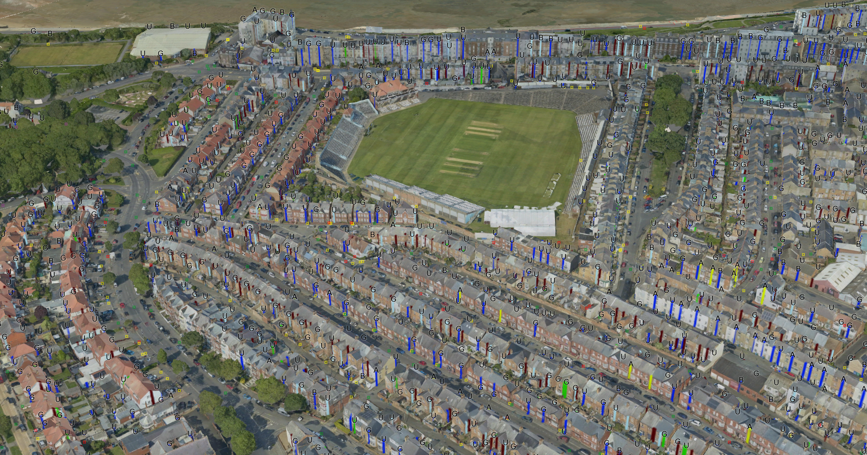
The project uses cutting-edge aerial technology to map the wastewater network across the entire East coast including the coastal towns of Filey, Bridlington and Scarborough, as well as at Ben Rhydding, Addingham and Ilkley near the first Yorkshire bathing water. APEM used specially designed camera systems mounted in fixed-wing aircraft to capture ultra-high-resolution aerial imagery from the sky.
The imagery was then used to create detailed 2D and 3D models, which - with the use of AI technology - enabled rapid identification of wastewater features such as manholes and drainage entry points across the area. It was also used to spot potential misconnected pipework and possible pollution issues that could affect the quality of local water courses.
Having surveyed over 80km² across the East Yorkshire coast and Ilkley inland bathing water the 3D mapping has revealed:
- over half a million previously unmapped points connected to the sewer network such as manholes, gullies and downpipes
- an almost 4,000% increase of contact points to the sewer network that were previously undetected following the transfer of private sewers into the utilities’ ownership
- over 32,000 potential misconnections, with 2,800 connecting directly to watercourses
- 178 potential rural pollution issues that could impact key catchments
Thomas Ogden, wastewater smart networks manager at Yorkshire Water, said: “This is the first time that we have carried out a mapping project on this scale to give us a better understanding of our network.
“We’ve mapped thousands of previously undetected assets across the East coast and inland bathing water sites and found over 2,800 potential misconnections on both domestic households, our wastewater network and other pollution risks such as from agricultural runoff and septic tanks.
“This overarching view using APEM’s technology will improve how we manage and maintain the sewer network as well as give us the intelligence required to predict and prevent some pollutions in the future. Plugging this important historical gap will allow Yorkshire Water to confidently plan for the future.
“The data will be integrated into Yorkshire Water’s operational systems and will help strengthen the utility’s operational decision-making by effectively ‘joining the dots’ between visible assets and below ground pipework. This new insight is being shared with the wider business to support teams to work more efficiently, reduce unnecessary site visits and target efforts where they will have the greatest impact.”
Jack Oxtoby, senior geospatial insights consultant at APEM Group, said: “We used our aerial imagery to create 3D models over 80km² of coastline and inland bathing water. Our expert team of technicians, project managers and image analysts combined the ultra-high-res imagery together with AI to identify and colour code surface water outfalls, gulleys, soil stacks and manholes, which were then added to a map to show all the previously unknown assets.
“We support water companies by helping them to manage leakage, drought and pollution impacts. This new aerial footage has provided Yorkshire Water with a large-scale view of the coastal and inland bathing water areas that will give the utility a comprehensive understanding of its wastewater network that was previously unmapped. APEM’s non-intrusive aerial survey imagery complies with UK GDPR requirements with strict controls on how data is handled.”
Using APEMs ‘birds-eye’ view to map misconnections across the East coast will help the utility intervene sooner and prevent future pollution impacts on the region’s rivers and sea.
Having access to this data is the start of the process and Yorkshire Water is planning further investigation of the 2,800 priority misconnections to determine if they’re connected to the wrong sewer and work with customers to rectify this.
Further investigations will be carried out to narrow down which of the potential 32,000 misconnections need further intervention. However, the majority of those potential misconnections identified from the air, won’t necessarily be causing any environmental impact.
The team at Yorkshire Water will work with local authorities to ascertain that rainwater runoff is flowing into the correct wastewater network and coordinate drainage maps and other resources to increase efficiency at Yorkshire Water wastewater treatment sites and to reduce potential pollution events.