Yorkshire Water launches near real-time storm overflow map
4/30/2024
Yorkshire Water has launched a new interactive map that will show the operation of storm overflows in near real time.
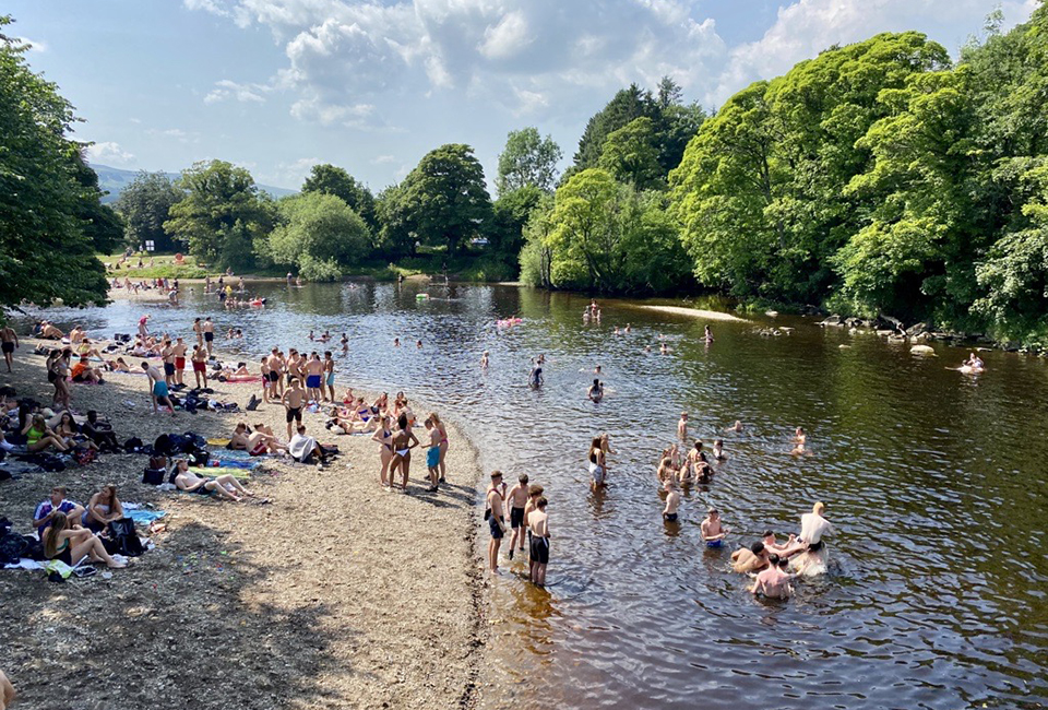
The map is being launched ahead of the 2024 bathing water season, which runs from 14 May-30 September, to provide the most up-to-date information to those intending to swim at the coast or at the River Wharfe in Ilkley, as well as people looking to find information about their local rivers.
The map will show the live status of each of Yorkshire Water’s storm overflows, when they last discharged into a watercourse and for how long to provide the most up-to-date information to customers. The map will refresh at 15-minute intervals.
Storm overflows operate to relieve pressure when there are periods of heavy or prolonged rainfall, or blockages within the sewer network, to prevent sewage backing up in the system and flooding homes and gardens. They therefore operate more when it is wet and less when it is dry.
Ben Roche, director of wastewater at Yorkshire Water, said: “We’re pleased to be launching our interactive map and hope it will increase transparency for our customers, who understandably are interested in the operation of overflows within their local area, and across the region.
“All of our storm overflows are featured on the map with near real-time discharge data, showing the live status of the overflow and when they last discharged to the watercourse. All the data will be available to anyone accessing the map. We have decided to launch now, ahead of the bathing water season to ensure customers are better informed about our operations in their area. The data isn’t perfect and the instruments themselves can be unavailable from time to time as they are often only as reliable as the communication networks that serve some of the remote locations we have, but we are continuing to work to refine the map and our validation processes.
“The interactive map is just a small part of the work we are doing on overflows in the region. In Yorkshire, we have 2,180 overflows and we know replumbing the whole of Yorkshire is not a quick fix as it would be both significantly disruptive and costly to customers. The map shows just how big an engineering challenge this is from the vast numbers of overflows we have. But we are investing £180m by the end of April 2025 to tackle 134 of the more frequently discharging overflows. We have already completed work on some of these, have 62 projects currently being delivered or due to start in the coming months and we have made information on these proposed improvements available on our website.”
The £180m investment can broadly be split into four different types of work:
- Increasing storage at Yorkshire Water’s wastewater treatment works and within the sewage network.
- Separating surface water from the combined sewer system, where developments have incorrectly connected.
- Reducing groundwater infiltration into sewers.
- Changes to the operation of treatment works to improve performance further.
Ben added: “We have also submitted our 2025-2030 plan for Ofwat to approve, which outlines our largest ever environmental investment, with £1.19bn earmarked to further reduce discharges into watercourses from our network, as we continue our work to do what’s right for the environment.”
Details of planned investment on the wastewater network can also be found on the storm overflow investment page of the Yorkshire Water website.