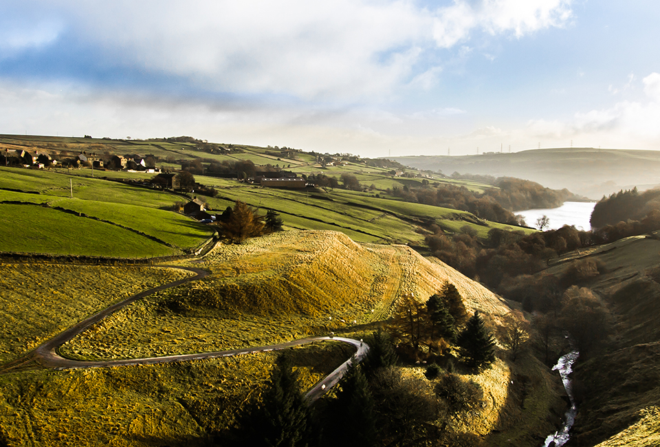
Find a route
Need an easier walk?
We try to make our reservoirs as accessible as possible. Either all or part of our easier walks have wide and well-surfaced footpaths. They're mostly flat and have no steps or stiles.

All our walks
| Walk | Location | Distance | Difficulty | Facilities |
|---|---|---|---|---|
| Northwest of Low Bradfield, near Sheffield | 3.5 miles | 3 out of 4 |
|
|
| East Ardsley, near Wakefield | 1.3 miles | 1 out of 4 |
|
|
| West of Ripponden | 2 miles | 3 out of 4 |
|
|
| West of Ripponden | 1.4 miles | 2 out of 4 |
|
|
| Between Meltham and Slaithwaite | 1.5 miles | 1 out of 4 |
|
|
| South of the Vale of York | 1.3 miles | 1 out of 4 |
|
|
| South of Stockbridge, near Sheffield | 2.3 miles | 2 out of 4 |
|
|
| North of Osmotherley near Northallerton | 1.5 miles | 1 out of 4 |
|
|
| West of Low Bradfield, near Sheffield | 2.5 miles | 2 out of 4 |
|
|
| Low Bradfield, north-west of Sheffield | 3.5 miles | 1 out of 4 |
|
|
| South-west of Holmfirth | 1.5 miles | 2 out of 4 |
|
|
| South-west of Holmfirth | 5.5 miles | 3 out of 4 |
|
|
| North of Leeds | 4.5 miles | 3 out of 4 |
|
|
| North of Skipton | 1 miles | 2 out of 4 |
|
|
| West of Harrogate | 4 miles | 1 out of 4 |
|
|
| West of Harrogate | 10 miles | 3 out of 4 |
|
|
| West of Harrogate | 6.2 miles | 3 out of 4 |
|
|
| Pateley Bridge, near Dibbles Bridge | 4.5 miles | 3 out of 4 |
|
|
| South-west of Haworth, near Keighley | 4.8 miles | 4 out of 4 |
|
|
| West of Ingbirchworth village, north of Penistone | 1.3 miles | 2 out of 4 |
|
|
| Southwest of Penistone | 3 miles | 2 out of 4 |
|
|
| Southwest of Penistone | 2.5 miles | 1 out of 4 |
|
|
| Ewden Valley, south of Stockbridge | 2.3 miles | 1 out of 4 |
|
|
| Ogden, north of Halifax | 1.2 miles | 1 out of 4 |
|
|
| Knoll Hill, east of Halifax | 3 miles | 3 out of 4 |
|
|
| Holmbridge, South of Huddersfield | 1.5 miles | 3 out of 4 |
|
|
| West of Lodge Moor, near Sheffield | 2.5 miles | 3 out of 4 |
|
|
| West of Sheffield | 5 miles | 3 out of 4 |
|
|
| South-West of Halifax | 6 miles | 4 out of 4 |
|
|
| North of Penistone | 1.5 miles | 2 out of 4 |
|
|
| West of Ripponden | 2.5 miles | 3 out of 4 |
|
|
| West of Sheffield | 3 miles | 2 out of 4 |
|
|
| Near Middlesmoor in Nidderdale | 4 miles | 3 out of 4 |
|
|
| Near Middlesmoor in Nidderdale | 6 miles | 3 out of 4 |
|
|
| North of Penistone | 2 miles | 1 out of 4 |
|
|
| West of Harrogate | 3 miles | 1 out of 4 |
|
|
| West of Harrogate | 4.25 miles | 4 out of 4 |
|
|
| South of Finghall, North Yorkshire | 1 miles | 1 out of 4 |
|
|
| North of Blubberhouses, near Harrogate | 4.5 miles | 3 out of 4 |
|
|
| North-West of Hebden Bridge | 4 miles | 4 out of 4 |
|
|
| South of Mytholmroyd near Cragg Vale | 1.5 miles | 2 out of 4 |
|
|
| West of Cragg Vale, south of Mytholmroyd | 4.5 miles | 4 out of 4 |
|
Get more from Yorkshire Water
Sign up to our mailing list and be the first to hear about:
- what we’re up to
- our help and support services
- water saving advice
- top tips to avoid blockages.
